MEMENTO
Turn reconnaissance
into terrain intelligence.
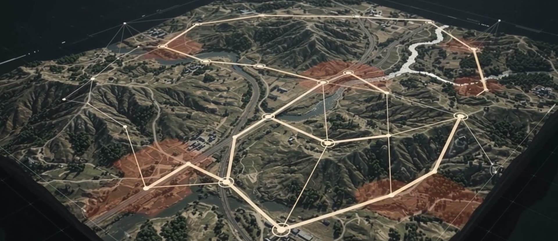
Satellite imagery, drone reconnaissance, weather, soil and land cover, fused into one spatial model. Terrain intelligence and mission planning for unmanned ground vehicles.
Terrain Intelligence for Ground Vehicles: from Reconnaissance to Mission Planning
Memento connects drone reconnaissance, satellite imagery, weather data and military reports in one software environment and turns them into a single spatial model of the terrain your vehicles have to cross.
On that model it computes where each vehicle can move, keeps it away from mud, threats and risk, and plans the mission for the vehicle, its payload and the conditions of the day.
Mission Planning at the Tactical Edge
Plan, compare and commit in one workflow.
Console Interoperability
Connect terrain intelligence to the systems where missions are planned.
Flexible Deployment
Run Memento where your unit plans.